Lodging
Mayan-style cabins in a private reserve
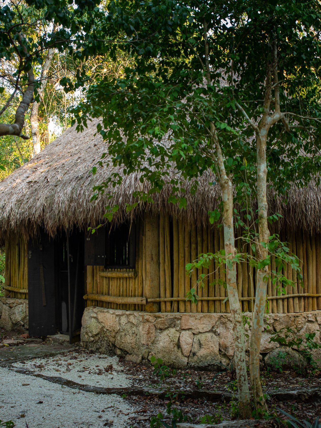
The Bungalow
Sleep in the jungle, wake to birdsong.
Our Mayan-style eco cabins sit inside the reserve, a short walk from the eco-lounge and the trailheads. Comfortable, quiet, and built to leave the forest as it was found.
- Sleeps 2 adults
- Queen-size bed and a traditional hammock
- Electricity, ceiling fans, and free Wi-Fi
- Dry w/c restroom and shower
- Access to camping areas and bonfire spaces
- Over 4 km of guided nature trails at your door
There are only a handful of cabins, so every reservation is arranged by hand — a call or an email, and we hold the dates.
Request a stay
Tell us your dates and we’ll come back to you.
Planning a group, a wellness retreat, or a longer stay? Send us the details and we’ll put together an itinerary that fits.
- Call or WhatsApp
- +52 987 111 4806
+1 801-893-0158 - [email protected]
Getting here
Inland on the north-east side,
17 km from town.
Away from the piers,
at the quiet end of the road.
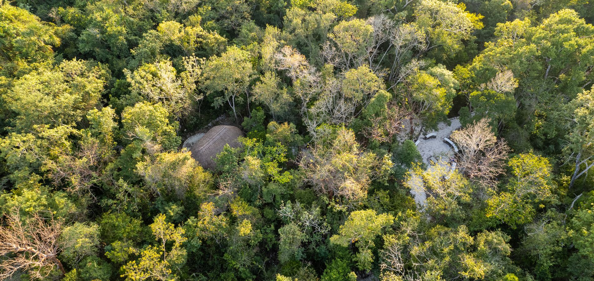
Villa Maya sits inland on the north-east side of Cozumel, at the far end of Villa Maya Rd — tropical forest along the road coming in from the cross-island transversal, which reaches the east coast a few minutes further on.
San Miguel de Cozumel, Quintana Roo, Mexico
20.4893005° N, 86.8324832° W
Arrival & access protocol
Access to Villa Maya Natural Reserve
Access to Villa Maya Natural Reserve begins from the Carretera Transversal (Cross-Island Road) at the San Gervasio access point, approximately Km 8. There is a 24/7 access control point at this location, managed by the Fundación de Parques y Museos de Cozumel (FPMC).
Upon confirmation of your reservation, you will receive the specific access instructions and protocols required for your arrival.
From the ferry terminal
From the San Miguel ferry terminal, follow the Carretera Transversal (Cross-Island Road) eastward toward San Gervasio until you reach the San Gervasio access point and control point.
From Cozumel International Airport
From Cozumel International Airport, take Avenida 65 south and continue east toward the Carretera Transversal. Follow the Carretera Transversal toward San Gervasio until you reach the San Gervasio access point and control point.
-
Arrival at the San Gervasio control point
The final route to Villa Maya begins at the San Gervasio access point, at approximately Km 8 of the Carretera Transversal. On arrival, present your Villa Maya reservation confirmation at the 24/7 control point.
This is the starting point of the Villa Maya route. It is also the public access point for the San Gervasio area, but it is not the entrance to Villa Maya Natural Reserve.
-
Final route to the reserve
From the San Gervasio control point:
- Continue along San Gervasio Road toward the archaeological site.
- When you reach the turn for the San Gervasio archaeological site, do not take that turn.
- Instead, follow the Villa Maya Road access indicated in your reservation directions.
- Continue for approximately 2 km (1.2 miles) until you reach Villa Maya Natural Reserve.
Final arrival
On reaching the Villa Maya Natural Reserve entrance, stop at the designated arrival point and follow the on-site access instructions provided with your reservation.
Important
The San Gervasio control point is the starting point of the final route to Villa Maya. The reserve is approximately 2 km beyond the control point, via Villa Maya Road.
For the final approach, please follow the Villa Maya access directions provided with your reservation, and do not rely exclusively on standard navigation applications.
Map data © OpenStreetMap contributors.
The reserve
Every trail, cabin
and cenote, mapped.
Eight vegetal associations, three grades of trail, and the signposted stations along each one — with the Mayan use of the trees marked as you pass them.
Before you come
Questions we are asked.
Where is Villa Maya?
In the interior of Cozumel island, 17 km from downtown San Miguel — a private natural reserve in tropical forest, established in 1992. Access is from the Carretera Transversal at the San Gervasio access point, roughly Km 8.
How do I book a cabin?
By telephone or WhatsApp +52 987 111 4806; US call +1 801-893-0158, or write to [email protected]. Every reservation is arranged personally.
What are the cabins like?
Mayan-style eco cabins with a queen-size bed and a traditional hammock, electricity, ceiling fans and free Wi-Fi, dry restrooms and showers. Camping areas and bonfire spaces are also available.
Is this glamping or camping?
Both. The cabins are glamping — solid shelter, a real bed, power and Wi-Fi in the middle of the jungle. There are also camping areas for guests who bring their own tent.
What is there to do?
Over 4 km of guided nature trails, birding at dawn, jungle hikes, SCUBA diving and snorkelling on the Cozumel reefs, the Punta Sur excursion, temazcal ceremonies, yoga and forest bathing.
Do you serve food?
Yes — Raíces y Sabores, our kitchen at the eco-lounge, serves Yucatec breakfast, main courses and desserts. Vegan and vegetarian options are available on request.